80 Central Asia: Regional Example – Fergana Valley

The Fergana Valley is a transboundary, intermontane, multiethnic region that features conflict over water and borders, while being a uniquely prosperous section of Central Asia. This lowland between the Tien-Shan Mountains and the Pamir-Alay Mountains is watered by the Kara Darya and the Naryn streams as they merge to form the Syr Darya. (“Darya” means “river” in local Turkic languages.) Given that Central Asia features steppe, deserts, and mountains, it is singularly valuable to have lowlands with regular river flow.
These agricultural advantages of the region have prompted settlement here for many years. Archeological and anthropological evidence indicate that towns have been in the Fergana Valley at least 2000 years ago, settled by people from Western sources (even Greek) as well as from Eastern regions. Genghis Khan and his Mongol forces invaded in 1219. Islamic culture and religion expanded from the Middle East to become widespread in Central Asia. The Russian Empire began conquering Central Asia with the capture of the city of Tashkent in 1865, then expanding through the region.
With the Russian Revolution of 1917 ending the Tsarist rule of the empire, Central Asia soon became part of the new Soviet Union. As such, out of Turkestan the Communists created five republics. In doing so and acting for the communist government, Joseph Stalin created borders mainly to assist in creating ethnic identities, but also in places ostensibly to cause local disputes. Local deals could make minor adjustments. Even the Soviet standard of a minimum of one million people in a republic was a consideration in capturing enough population within the twisting boundaries. In any case, jurisdiction over the Fergana Valley became quite odd. Fergana was broken into pieces, in contrast to its history, in whatever empire, of being a single integral region.
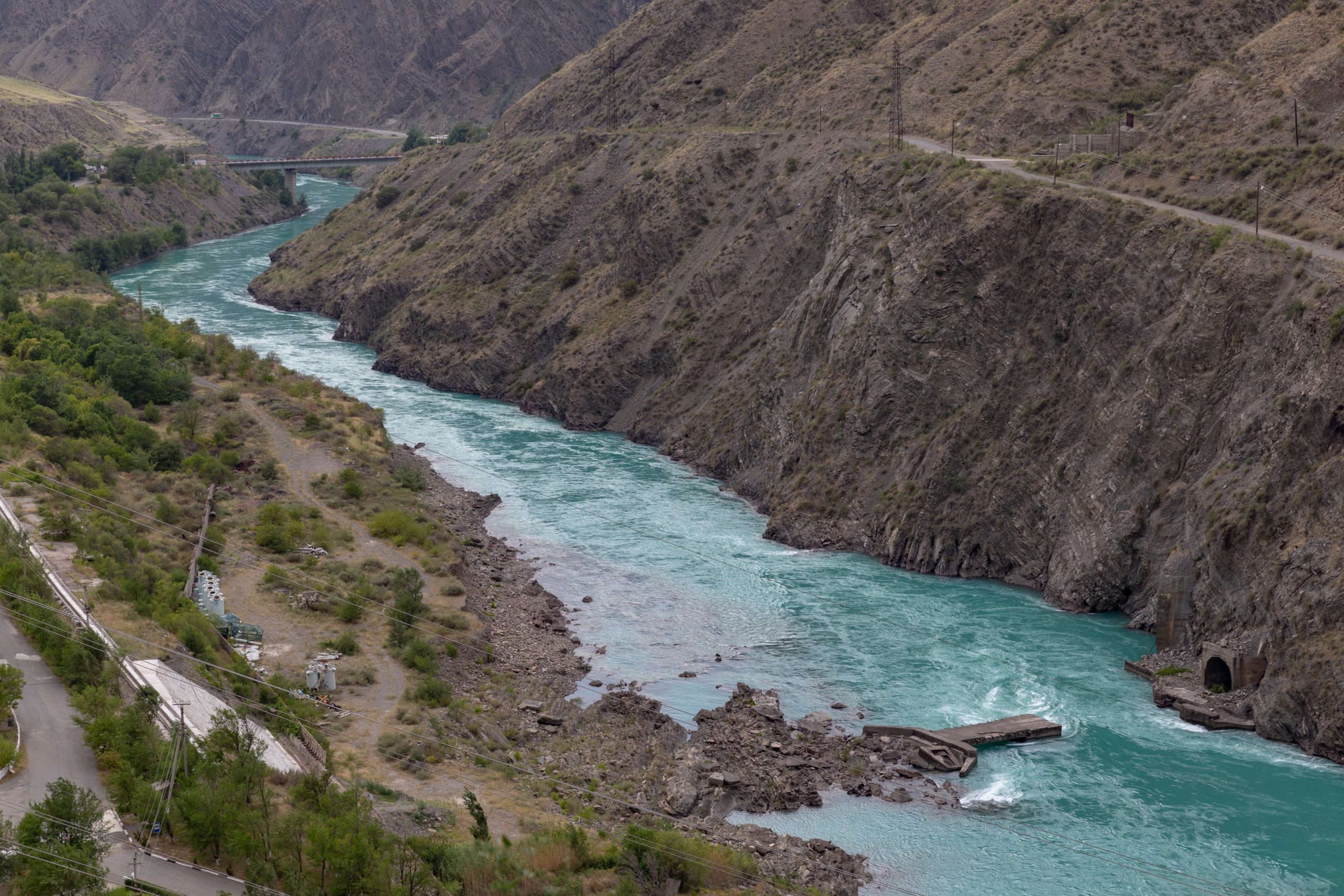
Photo by Ninara on Flickr.
First, the Fergana Valley was carved irregularly so that the borders were complex, but also so that these boundaries gave portions of the valley to three different republics – Uzbekistan (then the Uzbek republic), Tajikistan, and Kyrgyzstan. However, these pieces were not equivalent. Uzbekistan included almost all of the eastern side of the valley, while Kyrgyzstan gained only the north/south eastern edges of the valley as it began out of the mountains. Tajikistan was assigned the western portion of the valley, a section smaller that Uzbekistan’s share. To create Uzbek control of part of Fergana, a proruption or extended arm of territory thrust through the Kuramin Mountains into the valley. Similarly, Tajikistan gained an extended arm from its northwestern top, blocking Uzbekistan’s natural connection, thus forcing this Uzbek loop above the Tajik twist of territory. See the map at https://www.behance.net/gallery/35405681/The-Fergana-Valley-(1-map)
Second, this new map added several exclaves of territory, complicating the boundary lines and ethnic populations. Exclaves are pieces of national territory that are separated from the main body of the region. Often exclaves are at least inconvenient, if not entangled in controversy and conflict. Tajikistan has three exclaves within Uzbekistan and Kyrgyzstan, while Uzbekistan has four exclaves in Kyrgyzstan.
https://www.openstreetmap.org/way/133075633#map=11/40.9765/70.5860 This OpenStreetMap shows the Sarvak exclave, Tajik land along the Sarvakskay River, but surrounded by Uzbekistan.
These sorts of pieces of local territory changed frequently during the Soviet years. For instance, land rights could be pushed to include territory brought into collectivized agriculture (simply put, these were large-scale government owned farms) even if these lands extended into other jurisdictions. Local authorities from each of these republics traded land, developed water rights, and built structures in other jurisdictions. During Soviet times, the awkwardness of these exclaves existed, but was not extreme, for overall each of these republics and their corresponding lands remained in one country, the Soviet Union.
Eventually though, the USSR ceased to be a country, leaving three republics with convoluted boundaries and competing claims. The breakup of the Soviet Union threw these border issues into chaos. The Central Asian republics became independent countries with their own issues of sovereign territories. An Uzbek exclave in Kyrgyzstan took on new meaning and importance for both sides. Surrounded by Kyrgyzstan, the So’x (alternatively spelled as Sokh) exclave is Uzbek territory, includes a dam and reservoir, and draws a very irregular shape (scroll in the OpenStreetMap noted earlier here). At its middle, the exclave is less than a mile across. Absurdly, the population of So’x is mainly Tajik.
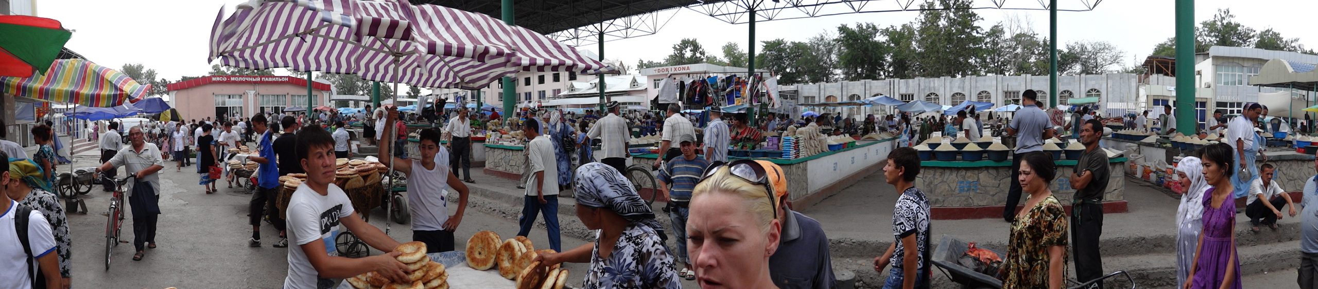
Moreover, it is not as if the Fergana Valley is home to a few scattered people in a far distant place. True, Americans may view the Fergana Valley as a far distant place, if they even know of it at all. However, for Central Asia the Fergana Valley is a vital piece of territory that is densely populated and agriculturally essential. In 2014, the population of the Fergana Valley was fourteen million people, over 20% of the population of post-Soviet Central Asia. These millions lived in only 5% of the corresponding land area. Population density of Fergana was about 1600 people per square mile, while that of the whole region measures about 40 people per square mile.
Border disputes remain. Border crossing open and close. Transit to a from exclaves can require documentation and out-of-the-way drives. Violent occasionally erupts, having spiked in 1999. Protestors gather. Uzbekistan’s relatively new president Shavkat Mirziyoyev (2016) has expressed interest in adjudicating these odd border regions. A proposal from 2018 seems set to trade the Barak exclave to Kyrgzstan in exchange for exclave land near the village of Birleshken.
Exclaves are odd bits of geography, often problematic. Historically tricky, jurisdiction over the Fergana Valley is locally frustrating and crucial, as the region features some of the best agriculture in the region and a focal point of concentrated population.
Did you know?
Cited and additional bibliography:
“Behance.” Accessed September 30, 2021. https://www.behance.net/gallery/35405681/The-Fergana-Valley-(1-map).
“Convoluted Borders Are Hampering Central Asian Integration.” The Economist, October 31, 2019. https://www.economist.com/asia/2019/10/31/convoluted-borders-are-hampering-central-asian-integration.
Jones, Adam. Panorama of Food Market – Bazaar – Fergana – Uzbekistan. July 10, 2012. Photo. https://www.flickr.com/photos/adam_jones/7550984928/. Attribution 2.0 Generic (CC BY 2.0)
Ninara. Naryn River, Kyrgyzstan. July 14, 2018. Photo. https://www.flickr.com/photos/ninara/29473088427/. Attribution 2.0 Generic (CC BY 2.0)
OpenStreetMap. “Way: Sarvak (Tajikistani Exclave) (133075633).” Accessed September 30, 2021.https://www.openstreetmap.org/way/133075633.
RadioFreeEurope/RadioLiberty. “Residents Clash Near Disputed Segment Of Tajik-Kyrgyz Border.” Accessed September 30, 2021. https://www.rferl.org/a/tajik-kyrgyz-border-clash-village-residents/29144832.html
Stratfor. “Central Asia: The Complexities of the Fergana Valley.” Accessed September 28, 2021. https://worldview.stratfor.com/article/article/central-asia-complexities-fergana-valley.
