56 East Asia: Historical Geography – Divided Korea

The earliest civilization in Korea dates to 2300 BCE, and the peninsula was first unified into one kingdom in the 7th century CE. Korea remained independent for centuries, with significant influence from neighboring China, but its modern geography began to take shape in 1905, when Japanese troops occupied the peninsula. Japan formally colonized Korea in 1910, a major territorial gain in the growing Japanese Empire.
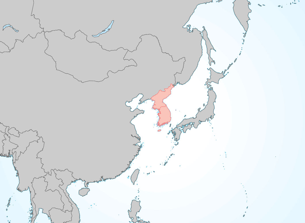
Late in World War II, the Soviet Union invaded Korea, and had extended their control about halfway down the peninsula when the war ended. The remaining Japanese troops in the south were evacuated, and replaced by American troops, making Korea one of the earliest hot spots of the Cold War. The Korean peninsula was divided at the 38th parallel of latitude, with the Soviet Union administering the north, and the United States administering the south. Eventually, two separate Korean states were established – the Soviet-backed and communist Democratic People’s Republic of Korea in the north, and the American-backed capitalist Republic of Korea in the South. These two states, known informally as North Korea and South Korea, both claim to be the legitimate government of the entire peninsula.
Cartography by Steve Wiertz.
In 1950, after years of skirmishes along the 38th parallel, North Korea launched a surprise, full-scale invasion of the South. South Korean forces were soon pushed into the far southwestern corner of the peninsula, near the city of Pusan. The United States condemned the invasion, and urged the United Nations to authorize a military response. At the time, there were five permanent members of the UN Security Council, which had the ability to authorize the use of force. The security council’s five permanent members consisted of the primary victors of World War II – the United States, Britain, France, China, and the Soviet Union, and any one of them had the right to veto military action. The U.S., Britain, and France were more than willing to condemn the expansion of Soviet-backed communism. China, a communist state by this time, would almost certainly have vetoed support for South Korea. However, China’s seat in the United Nations was still controlled by Chiang Kai-Shek’s government in Taiwan, which was, of course, also more than willing to condemn the communist invasion. The Soviet Union would also have certainly vetoed the measure, but the Soviets were boycotting the UN at the time, protesting Taiwan’s control of China’s seat. The motion to defend South Korea carried 4-0 with the Soviets not present.

Troops from sixteen UN countries, led by the United States, landed in Pusan to support the South Korean forces. Shortly thereafter, UN troops carried out an incredibly risky, but ultimately successful, amphibious assault at Incheon, located halfway up the peninsula’s west coast. This landing cut supply lines to North Korean troops fighting in the south, forcing them to retreat. South Korean and UN troops pursued the communist forces northward across the peninsula. By October of 1950, North Korean troops had been beaten back nearly to the Yalu River – Korea’s border with China – and their defeat seemed assured. But then Chinese troops entered the war, crossing the Yalu and pushing the UN troops south. By the end of 1950, North Korean and Chinese troops had pushed the front lines back to the 38th parallel. For the next three years, the war was fought to a stalemate, killing nearly 2 million people in the process. In 1953, the two sides signed a ceasefire agreement, known as an armistice. Troops withdrew a short distance from the front – still relatively close to the 38th parallel – and established an unoccupied strip of land that crossed the peninsula. This area was known as the demilitarized zone, or DMZ, and it still serves as the border between the two Koreas. It is one of the most heavily fortified boundaries on earth, and American troops are still stationed there.
The Korean War never officially came to an end – the two sides signed an armistice, not a peace treaty – and the two Koreas still refuse to recognize the legitimacy of the other. Peace talks between the two countries were held five times between 1972 and 2018, but did not yield much progress.
Did you know?
Cited and additional bibliography:
Baer, Drake. “Why South Korea Is the Plastic Surgery Capital of the World.” Business Insider, https://www.businessinsider.com/south-korea-is-the-plastic-surgery-capital-of-the-world-2015-9.
chocogato. DMZ Korea. Photo, 2 May 2004. Flickr, https://www.flickr.com/photos/chocogato/478495564/.
Wiertz, Steve. North and South Korea. College of DuPage GIS class. May 2022.
