89 Central Asia: Urban Geography – Nur-Sultan (Astana)
“Some people approached me saying they would like to raise a monument to me like they do in Turkmenistan for Turkmenbashy, I asked, what for? Astana is my memorial.”
- Nursultan Nazarbayev, President of Kazakhstan, 1990-2019
This site on the banks of the Ishim River has been an inconsistently settled location since the Bronze Age. Archeological digs have found evidence of periodic settlements that at times were abandoned. In 1830 the site was officially name Akmola (sometimes spelled Aqmola), but changed two years later to Akmolinsk, following a Russian pattern of ending town names with the suffix -sk. The town developed some local prominence, as the river location connects with several roads. In 1869, it became the new Akmolinsk Oblast’ (an oblast’ is somewhat similar to an American county) in the Russian Empire.
In 1954 during the Soviet Union’s Virgin Lands program, the town was chosen as a center a new administrative region (krai) that agglomerated five oblasts. In 1961, Soviet leader Nikita Khrushchev asserted that the town should have a new name reflecting its prominence in this agricultural campaign; therefore, the toponym was changed to Tselinograd (from the Russian words целина for virgin land and .город for town or city).
After the collapse of the Soviet Union, a number of towns and cities changed their names by reverting to previous place names. This happened here as well, for Tselinograd reverted to Akmola in 1991. Kazakhstan gained promotion from Soviet republic to independent country. In 1997, the fledgling Kazakh government chose to rename the city Astana (literally “capital” in the Kazakh language). Upon the retirement of long-time and first Kazakh president Nursultan Nazarbayev in March 2019, this capital city was renamed Nur-Sultan in his honor.
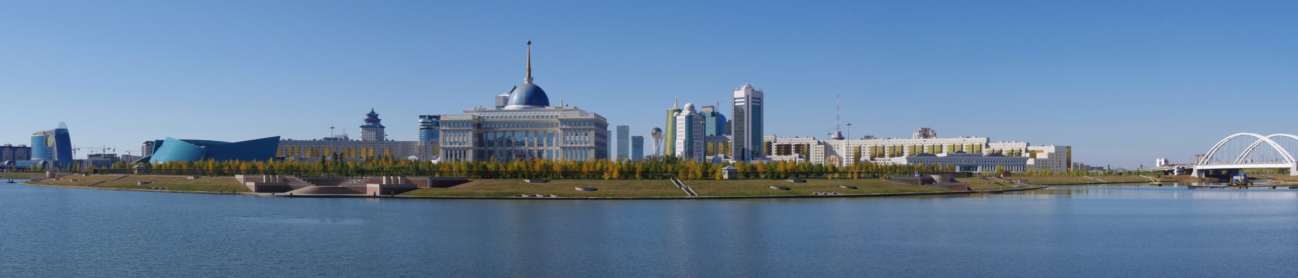
Although this location has hosted populations over the ages, its selection as the national capital of Kazakhstan was transformative. The population surged to a current 1.13 million, while the city was developed specifically as a planned capital. Previously, the capital of the Kazakh republic in the USSR had been Almaty; however, as a new national capital, Astana grew rapidly and dramatically reshaped its ethnic composition. In 1989 the city had a population of 281,252 with 17.7% being Kazakh and 54.1% being Russian. Before 2007, the population doubled and then redoubled to the present day. Stunningly, the ethnic composition of the city also shifted widely, so that the current numbers of Kazakhs comprise 80% of the city (Russians 11%).
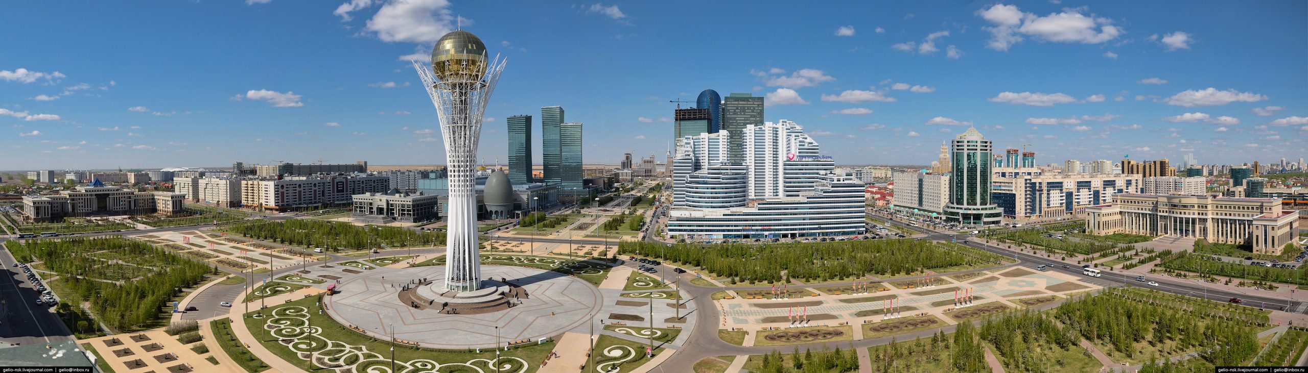
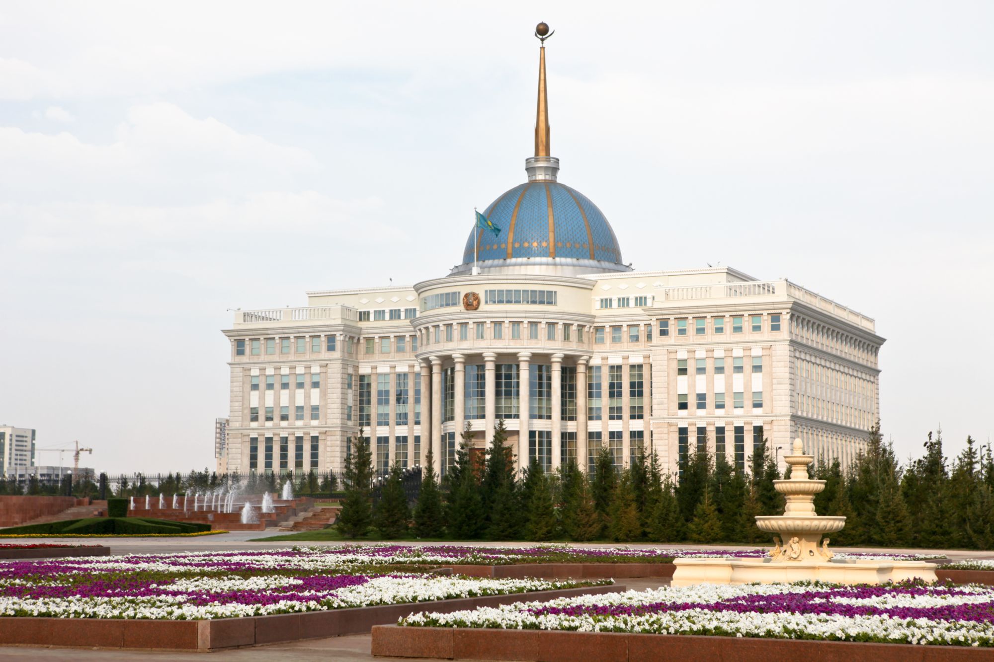
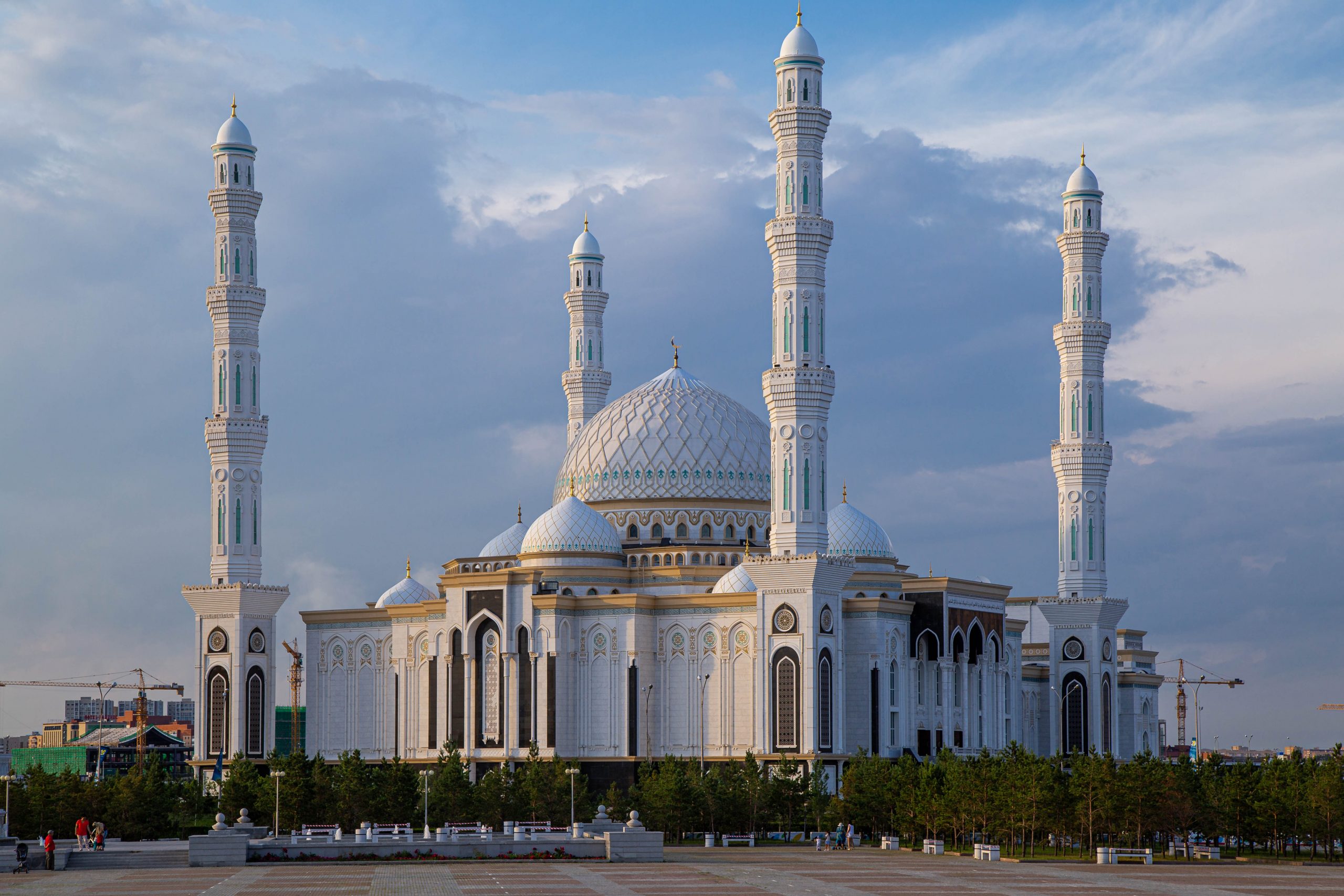
Structurally, the city was tranformed. Like other planned cities in the world (Washington, DC; Canberra, Australia; Brasilia, Brazil), Astana, now as Nur-Sultan, brought designs for new government buildings as well as for the urban form of the city as a whole. Architectural competition brought international expertise, including famed Japanese architect Kisho Kurokawa. Following a 2013 presidential initiative, the city is striving to advance its digital capabilities, in order to become one of the world’s top fifty “smart cities.”
Here are some of the striking architectural designs.
Did you know?
Named for Kazakhstan’s first president, Nazarbayev University opened it doors in Astana in 2010.
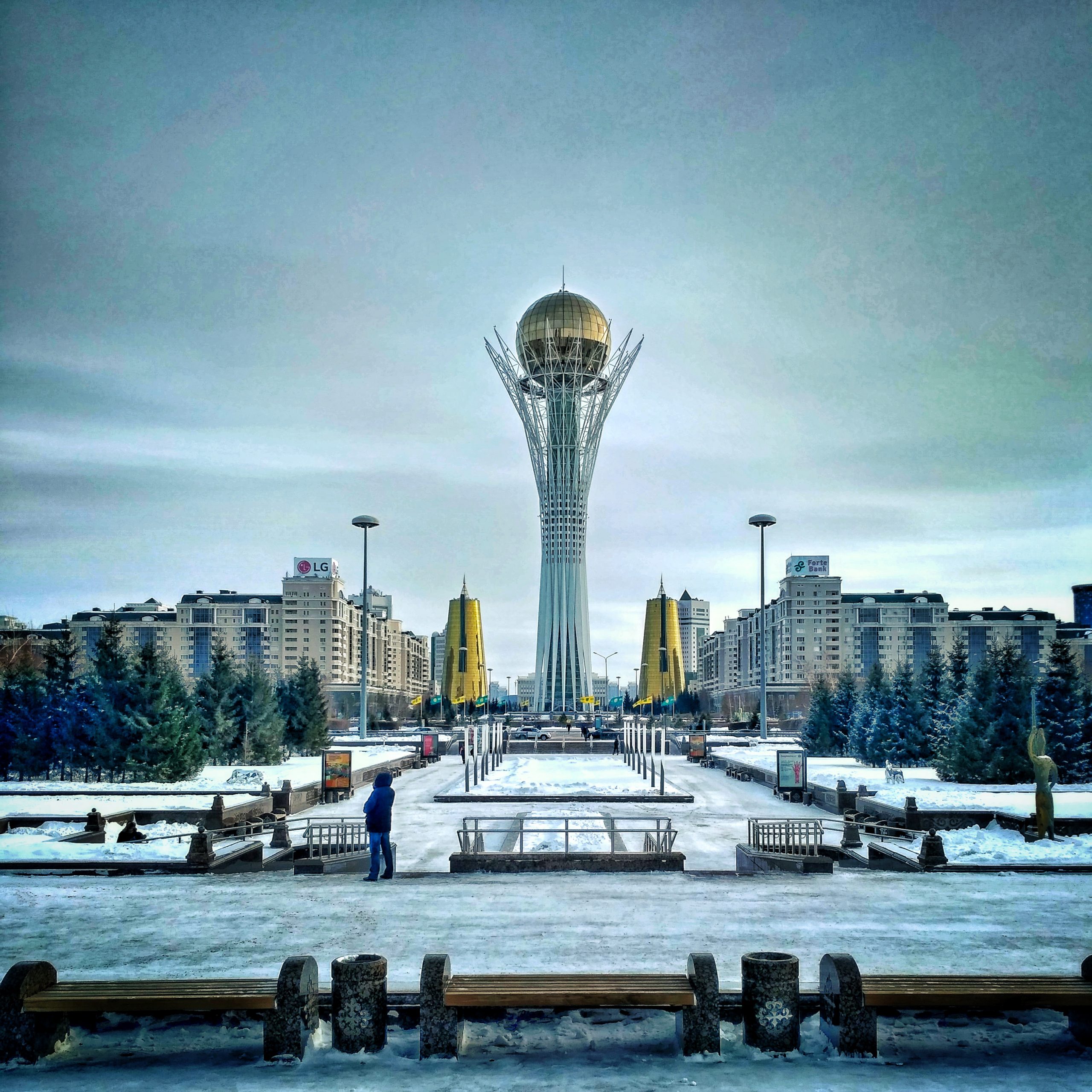
The Bayterek Tower symbolizes a tree of life, notably from a folktale where a magical bird of happiness has laid an egg in a poplar tree.
Cited and additional bibliography:
Bachishin, Vladimir. “Nur-Sultan: A Long History of a New Capital.” The Astana Times(blog), September 17, 2021. https://astanatimes.com/2021/09/nur-sultan-a-long-history-of-a-new-capital/
Fakhamzadeh, Babak. Bayterek. Photo. December 8, 2016. Flickr. https://www.flickr.com/photos/mastababa/30753501234/. Attribution-NonCommercial 2.0 Generic (CC BY-NC 2.0).
Ken and Nyetta. Central Nur-Sultan, Kazakhstan. Photo. https://commons.wikimedia.org/wiki/File:Central_Downtown_Astana_pamorama.jpg. Creative Commons Attribution 2.0 Generic.
Khan, Tore. Astana Panoramic. Photo. November 6, 2013. Flickr. https://www.flickr.com/photos/torekhan/10695124235/. Attribution 2.0 Generic (CC BY 2.0).
Ninara. Astana. Photo. July 21, 2012. Flickr. https://www.flickr.com/photos/ninara/8327420464/. Attribution 2.0 Generic (CC BY 2.0).
Palumbo, Jacqui. “Inside the Futuristic Post-Soviet Capital Built on an Empty Grassland.” Artsy, August 16, 2018. https://www.artsy.net/article/artsy-editorial-incomparable-futuristic-architecture-worlds-youngest-capital.
Satubaldina, Assel. “Astana Moving Closer to Becoming Smart City.” The Astana Times, April 28, 2018. https://web.archive.org/web/20180428093446/https://astanatimes.com/2017/06/astana-moving-closer-to-becoming-smart-city/.
Toivanen, Jussi. Photo. Nur-Sultan (Astana) Kazakhstan 2018. July 11, 2018. Flickr. https://www.flickr.com/photos/144252506@N07/50555426917/. Attribution-NonCommercial-NoDerivs 2.0 Generic (CC BY-NC-ND 2.0).
