76 South Asia: Political Geography – Kashmir

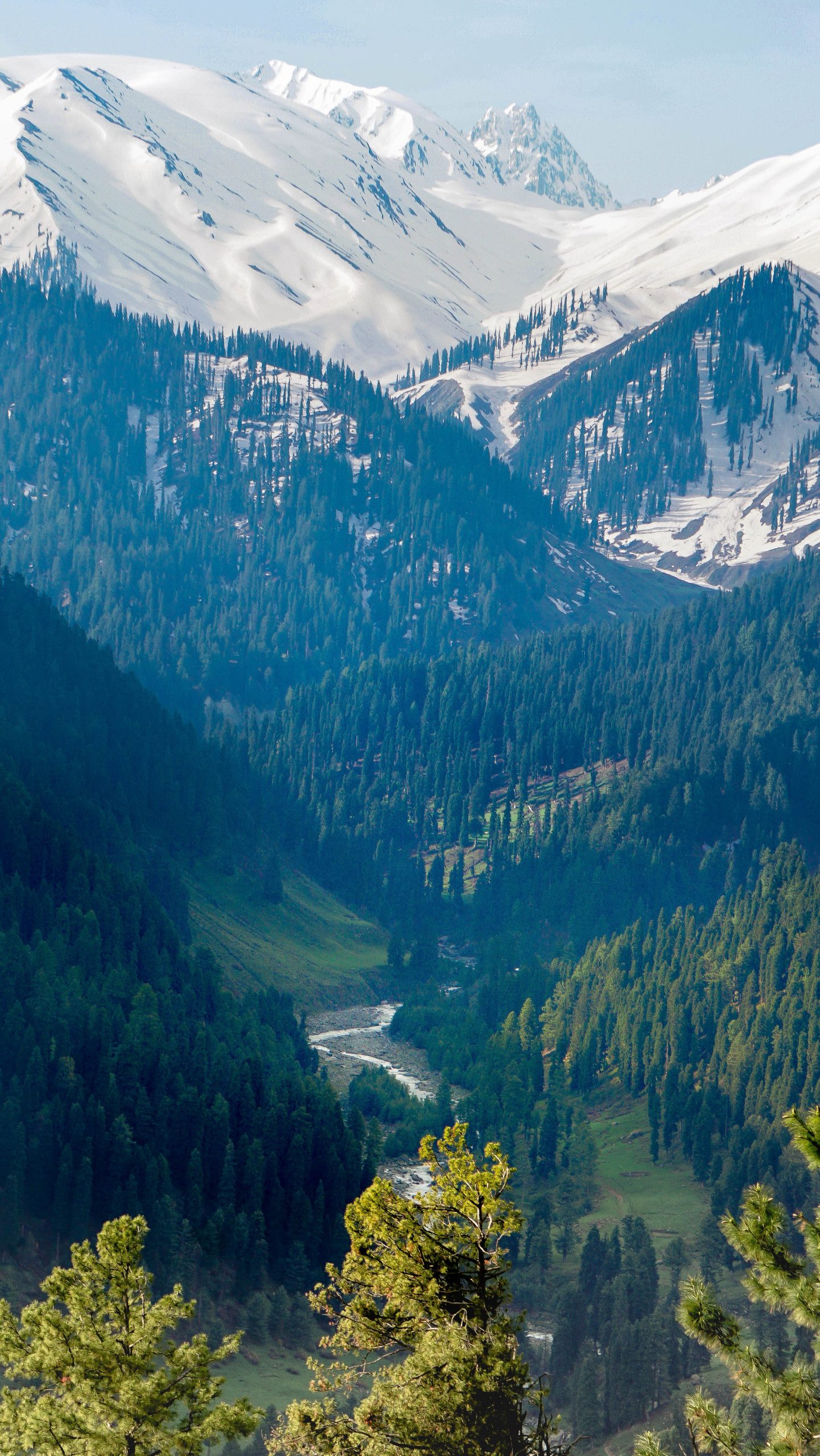
Kashmir is a region located on the northern edge of South Asia, and that is currently divided among India, Pakistan, and China. It occupies 85,000 square miles, an area about the size of Minnesota. Both Pakistan and India claim the whole of the region, while China only claims the territory it currently occupies. On Kashmir’s northern edge are the spectacular Himalaya mountains, while the southern part of the region is made up of densely forested hills. In its center is the Vale of Kashmir, the flattest, most fertile, and most densely populated part of the region.
Hindu kingdoms were first established in Kashmir in the 9th century, but the region fell under Muslim control in the 1300s. Muslim kingdoms would rule Kashmir for five centuries, and the majority of the population would ultimately convert to Islam. The Sikh kingdom of Punjab seized Kashmir in 1819. By the 1840s, the Sikhs were at war with the colonizing British. The British seized Kashmir an installed a Hindu maharaja (prince) to rule it.
When Britain established formal control over South Asia in 1857, the new colony included a number of “princely states” that retained a good deal of autonomy. Most of them were small city-states, but some, like Kashmir, covered vast territory. The ruling princes exercised control over their own territory, provided they pledged loyalty to the British crown and obeyed British trade and taxation policy. When Pakistan and India gained independence from Britain in 1947, it was agreed that the rulers of the princely states could choose to join either of the new countries, or opt for independence.
All but one of the princely states quickly opted to join either Pakistan or India. Independence might have been an appealing option for some of these rulers, but they correctly suspected that their own people, along with the governments of Pakistan or India, would not find independence to be an acceptable option. The state of Hyderabad confirmed these suspicions. Its emir, a Muslim ruler of a predominantly Hindu state, chose independence, and soon faced rebellion. Hyderabad was then invaded and annexed by India in 1948.
Kashmir’s maharaja was in a similar predicament. Maharaja Hari Singh was a Hindu ruler of predominantly Muslim state. He initially indicated that he would select independence for Kashmir, but facing a Muslim revolt, he chose to join India in 1947. Because Kashmir’s population was three-quarters Muslim, Pakistan sent troops to occupy the territory. India, respecting the maharaja’s decision, also sent troops to Kashmir. Fighting erupted and continued until 1949, when a ceasefire was signed.
When the war ended, India controlled the majority of Kashmir’s territory and population, including the Vale of Kashmir. Pakistan controlled a mountainous and thinly-populated area in Kashmir’s east. The Indian section of Kashmir was officially known as Jammu and Kashmir (note the flag shown above), and although India abolished the position of maharaja in the 1950s, Kashmir continued to enjoy a good deal of autonomy within the Indian state.
Unfortunately, conflict never fully ceased in the region. In 1962, China, which had never accepted the British delineation of the China-Kashmir border, occupied two rugged and remote sections of Indian Kashmir. This led to a brief and inconclusive border war between India and China. Fighting between India and Pakistan erupted in Kashmir again in 1965 and 1971, also with little change of territory. There have been a number violent incidents between the two countries since, but neither Pakistan or India, both now nuclear powers, have shown much inclination to let a conflict over Kashmir escalate.
Meanwhile, Muslim Kashmiris grew increasingly frustrated. It became apparent that Pakistan was not coming to their rescue, and very little headway was being made through the democratic process in India. Muslim militant groups began to carry out attacks against Indian security forces in Kashmir, and India responded with violent counterattacks. Over the last two decades, 68,000 people have died as a result of political violence in Kashmir.
In 2014, the BJP, a Hindu nationalist party, was swept to power in India’s national elections. The BJP government quickly took a hardline stance on Kashmir, and dramatically increased India’s military presence there. Muslim militants responded by increasing their attacks, including a 2019 suicide bombing that killed forty Indian police officers. That same year, the Indian government revoked Kashmir’s autonomous status and dissolved its government. Kashmir was downgraded to territorial status, giving the Indian government direct rule over the region. Later that year, India imposed a total lockdown on Kashmir, arguing it was necessary to combat terrorism. Schools were closed, telecommunications systems were shut down, and transportation to and from Kashmir was suspended. Muslim militants responded by forcing the economy into a general strike, violently attacking anyone who attempted to conduct business during the lockdown. The lockdown was eased in 2021, but tension remains, and violence has continued.
Did you know?
Cited and additional bibliography:
Beekay. Jammu and Kashmir. Photo, 17 May 2021, https://unsplash.com/photos/GCVc7KSS_9U.
