28 North America
How do we define this region?

Regional geography studies the people and places of a cohesive region. A “region” is defined to be an area with multiple shared characteristics over a range of categories, including both physical and human geographic characteristics. The secret of creating a region, which is a human construct not a naturally begotten unit, is to cluster together as many similarities as possible, while excluding geographic differences.
Defining North America is both simple and yet not quite meeting a consensus. North America is comprised by Canada and the United States. Both of these countries were British colonies with a touch of French influence. Both countries rank in the top five countries of the world by area, as each stretches from Pacific Ocean to Atlantic Ocean. These countries share the longest international land border in the world. Their cultures, economies, and politics are similar, though not quite the same. The countries are friendly allies.
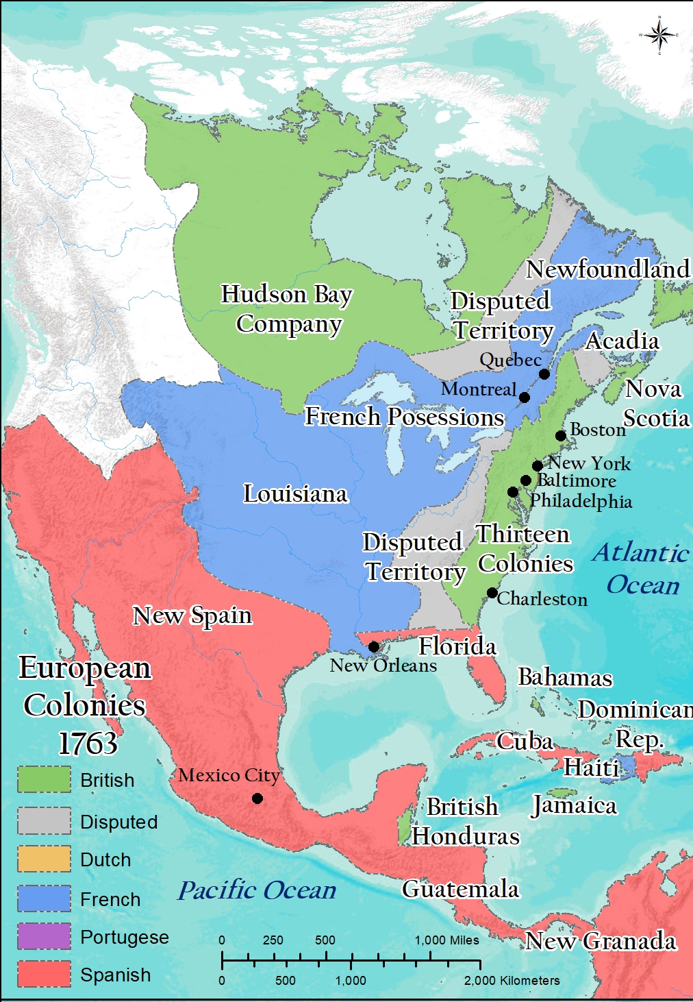
Cartography by Steven Banas.
As a landmass, the North American continent extends from northern Canada to Panama. This fact leads to the argument that the North American region includes Mexico and maybe other countries. As you will read in Chapter 63, most geographers assert that the cultural and linguistic similarities within Central America match well as part of Latin America, instead of pairing the contrasting cultures and languages of Central America against the British cultural ties and English language of the United States and Canada.

The island of Greenland is an autonomous territory of Denmark, while being a part of the North American continental formation. Therefore, some will count Greenland as a segment of the North American region. Fitting a remote, nearly unpopulated, icy island with two of the world’s most prosperous countries, one with nearly 330 million people, seems rather incongruous. Let Greenland be part of Denmark and leave it alone.
For Geography of the Western World, the North American region is the United States and Canada.
Did You Know?
Cited and additional bibliography:
Banas, Steven. 2020. “European Colonies in North America, 1763.” College of DuPage GIS class. Instructor Joe Adduci.
